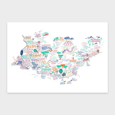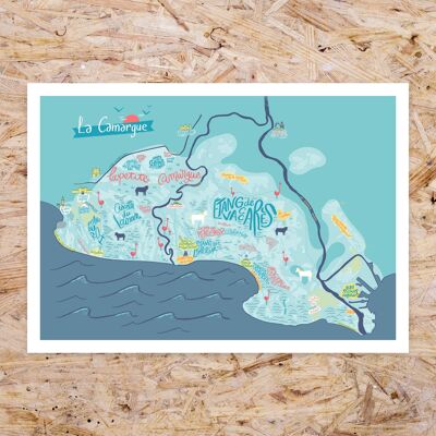
Map of the Rhône-Alpes region / 30 x 40 cm
See the wholesale price

A beautiful map of the Rhône-Alpes region, printed on quality paper. This illustrated map includes the names of towns, natural curiosities and famous monuments of the Rhône-Alpes region (Montélimar, Chambéry, Annecy, Lyon, Saint Étienne, the postman Cheval's palace, Grignan etc…). Format 40 x 50 cm. Each copy is wrapped in tissue paper and then rolled up in a cardboard tube.


