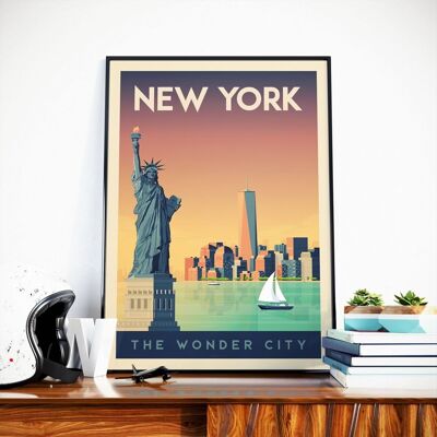
New York City Map / 30 x 40 cm
See the wholesale price

A beautiful map of New York (more exactly Manhattan) printed on quality paper. This illustrated map includes the names of neighborhoods, streets, monuments (Empire State Building - Brooklyn bridge - Central Parc - Time Square - MOMA - Chinatown - SOHO - Greenwhich Village etc etc ...). Format 40 x 50 cm. Each copy is wrapped in tissue paper and then rolled up in a cardboard tube.


![New York Empire State Building Travel Poster - United States - 21x29.7 cm [A4]](https://img.ankorstore.com/products/images/190515-47dfeb8bbe1892.jpg?auto=format%2Ccompress&fm=pjpg&dpr=2&h=200&w=200&fit=crop&crop=faces&force_format=webp)