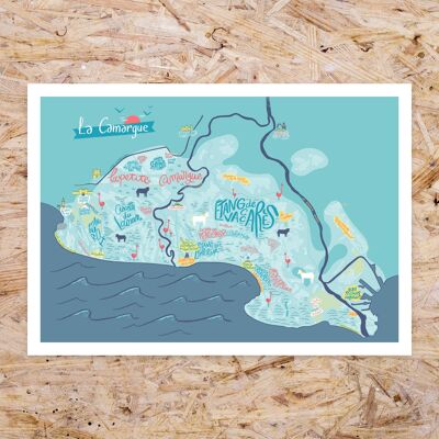
Map of Sète / 30 x 40 cm
See the wholesale price

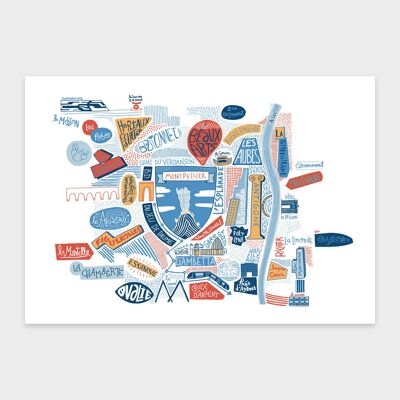
A beautiful map of Sète printed on quality paper. This illustrated map includes districts, streets, monuments (Étang de Thau, canals, marine cemetery, Mont St Clair ...). Format 40 x 50 cm. Each copy is wrapped in tissue paper and then rolled up in a cardboard tube.