Dublin, Ireland - A4
See the wholesale price

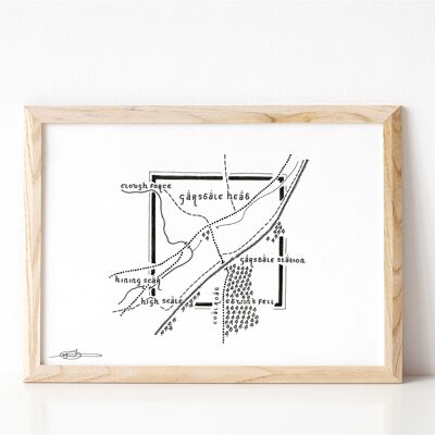
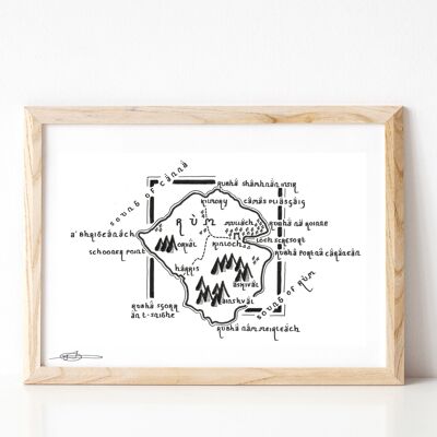
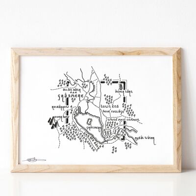
This is my cartographic interpretation of the PEAK DISTRICT NATIONAL PARK; an upland area in England at the southern end of the Pennines. It has been totally reimagined to resemble the cartographic style of J.R.R. Tolkien, author of many seminal works including The Hobbit, The Silmarillion, and the Lord of the Rings. Map Features: * Chatsworth House, Carsington Water, Derwent Water, and Ladybower Res. * Buxton, Monyash, Sheffield, Stocksbridge, Oldham, and Macclesfield. * Kinder Scout National Nature Reserve. * Bakewell, Chesterfield, Stoke-on-Trent, and Stockport. All reproductions are printed on 240gsm Fotospeed Matt Ultra paper. Orders are usually dispatched within one week, but please allow 7-14 days for UK orders and 2-3 weeks for international orders. For urgent delivery enquiries, or custom size requests, please drop me an email via the contact page.