PARIS Map Illustration Poster - Wall decoration
See the wholesale price

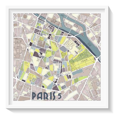
Poster illustrated with the map of the 1st arrondissement of PARIS. It is one of the oldest districts of Paris, including "Les Halles", a district which dates from the Middle Ages. Illustration part of the PARIS collection. EmYLo Urban Maps are created from city plans. They offer you an artistic version of moments experienced in places that are dear to us: your neighborhood, your city of birth, the place where you grew up... -Illustration drawn and painted by hand (ink, markers and watercolor) in my workshop in Toulouse - Giclée quality printing, in PARIS - Smooth matte art paper (acid-free, 190 g) - Filed with the INPI - 2 sizes available: 30x40cm and 50x70cm Framing advice: white frame with mat. Delivered without frame. Packaging in a sleeve with cardboard base, or tube, depending on the size, ready to sell.