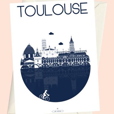
Illustrated Postcard City Map - TOULOUSE, Saint-Aubin district
See the wholesale price

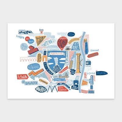
The Urban Map of the Saint-Etienne district in Toulouse in Postcard version. To be sent or framed. Dimensions: 10x15cm Front laminated.