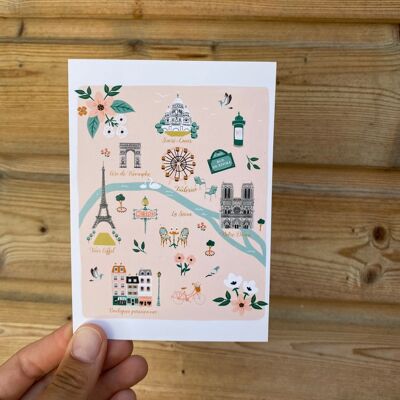
PARIS Map Illustration Poster - Wall decoration
See the wholesale price

Postcards illustrated with maps of the districts of PARIS. Each illustration is made by hand (ink, watercolor, markers, gouache) in my workshop in Toulouse. These cards can be used for collecting, for framing or for correspondence. - Four-color printing -Matte laminated back - ecological paper (PEFC certified) thick matte 330g/m2 -rectangle format 14.8x10.5cm or square 12x12cm Sold without envelope.