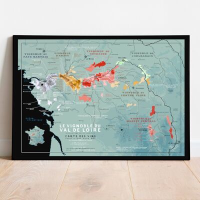
Hydrological Map of Haute-Loire
See the wholesale price

This poster represents all the waterways in the Allier department (03). Discover the Sioule, the Allier, the Loire, the Cher or the Alagnon… on this original map. Format: 50x70 cm Here is a piece of the Auvergne region from a new angle: that of water! This unique map of the Allier shows the different waterways in the department. We can thus play at recognizing the various streams and rivers... Will you find them all in sight? Poster printed on Hahnemuehle 315g Fine Arts paper.