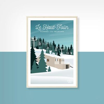


The Allier department is made up of most of the former Bourbonnais. It is one of the 11 departments of the Auvergne-Rhône-Alpes region, of which it occupies the northwest corner. It borders the departments of Cher (to the northwest), Nièvre (to the north), Saône-et-Loire (to the northeast), Loire (to the east), Puy-de-Dôme (to the south) and Creuse (to the southwest). The Allier department has five regions with very distinct types of relief: the Bocage bourbonnais (including the Tronçais forest), the Sologne bourbonnaise, the Montagne bourbonnaise, in the south-east the Limagne bourbonnaise, and the Combrailles, a low mountain region. These are the last northern reliefs of the Massif Central. Its main towns are Moulins, Montluçon and Vichy. In addition to Vichy, the department also includes two other spa towns renowned for their architecture: Bourbon-l'Archambault and Néris-les-Bains. This poster is a 2D print.Format: 50x70 cm


